Sometimes it’s good to talk about what goes on behind the scenes with Brit Stops. We always want to hear our members’ thoughts on the book, and over the years we’ve had some really useful feedback about the ease-of-use of the maps which has led to a lot of innovation and streamlining. I want to discuss the design journey we’ve been through with the maps; our initial systems, problems we faced, how we overcame them and finally looking to the future as the book continues to grow.
How We Used to Do It:
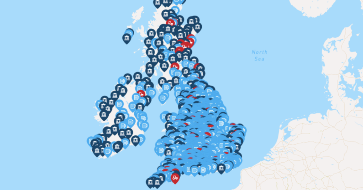
For the first eight years of Brit Stops, we plotted and re-numbered all the host dots each year individually by hand. This involved lots of checking back and forth with Google maps to ensure the dots were in the correct place on the artwork, and numbered correctly. We had to check for gaps in the sequence of numbers, for duplicate numbers and that each number corresponded to the correct entry in the book (which we didn’t always get right!).
We used layers such as land and sea, and others such as town names, roads, junctions etc. which allowed us to move things around easily. We can also choose a parameter for which towns are shown, so for instance we can choose to only show towns with a population greater than a certain figure. We can also choose to show or hide any specific type of road, or the road numbers and junctions. This helped when placing hosts manually, as we could get a a clearer idea of what the maps would look like depending on what information was shown on them.
How We Do It Now:
Last year for the first time the host dots were plotted using geo-location software, which made it more accurate and less time consuming for us. The software places the dots in the correct location, and numbers them at the same time using data from our spreadsheets. A downside of this however, is that since we don’t manually place the dots and host numbers any more, they could overlap with something that’s already there.
The Problem:
Whether the maps are put together by hand or geo-location software, the problem comes as we get more and more hosts, and host numbers start to overlap with town names, and road numbers. Plus, if minor roads appear underneath host numbers it makes them difficult to read.
This is an on-going issue due to the increasing size of the book year by year, and as we still have to check the maps manually for this, we’re still having to move things by hand. Unfortunately we still haven’t quite figured out a way to make them foolproof without manual checking, but it’s something we’re always working on.
Looking to the Future:
In 2019 we added the letter prefixes (SW, SE, EA, etc.) for the regions to resolve an issue with the numbering system. Next year in order to gain more space on the map, we may even remove the letter prefixes on the numbers themselves, to gain more space. As long as the numbers are in the correct region, the colour will tell you which region that particular number is in. We’ll keep the prefix letters at the top of each entry in the main part of the book.
I hope this has given you a bit of an insight into some of the decisions we make each year, and I also hope that you continue to give us useful feedback so that we can continue to improve Brit Stops.
Happy travels!